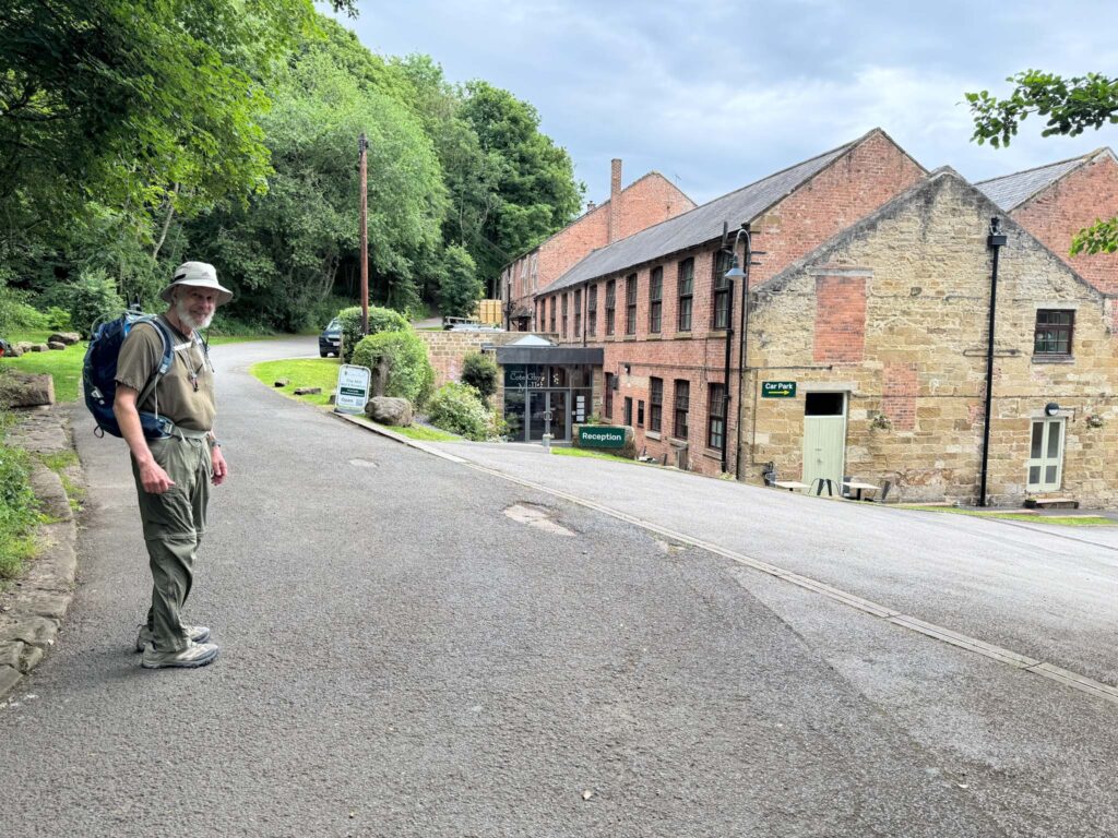
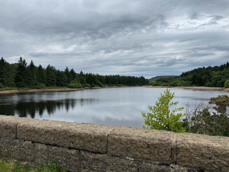
Saying goodbye to our overnight accommodation at Cote Ghyll outside Osmotherley. The proprietor explained a shortcut around the reservoir to rejoin the trail without extra steps.
The reservoir is a popular spot for dog walkers and families. It was an easy start to the day.
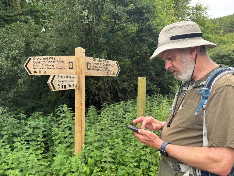
Our Cleveland Way is criss-crossing with the Coast to Coast trail, so we have to continue checking our bearings. Richard has an off-line map on his phone, and when we have enough cellular coverage, we appear as a blue dot on the trail (hopefully).
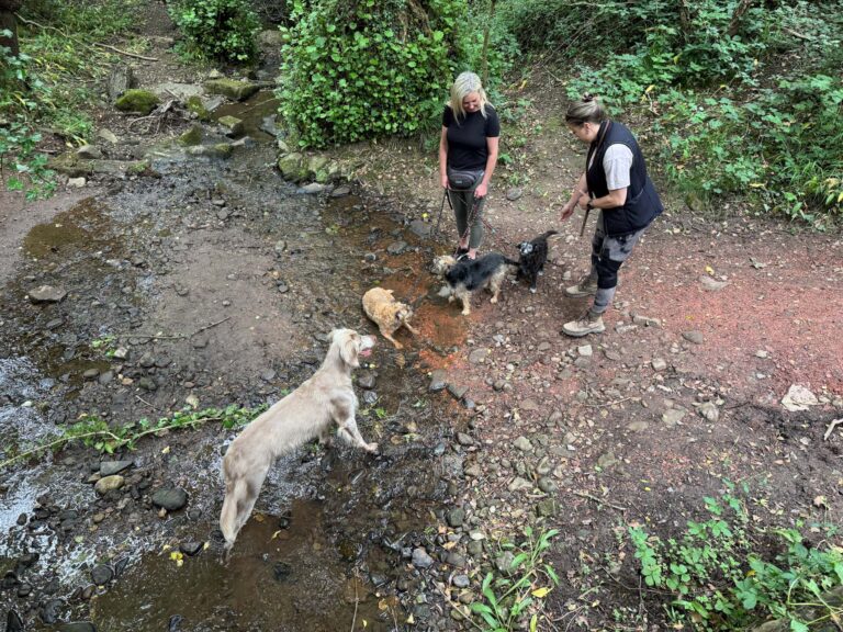
These ladies brought their dogs to the river for a drink after their walk.
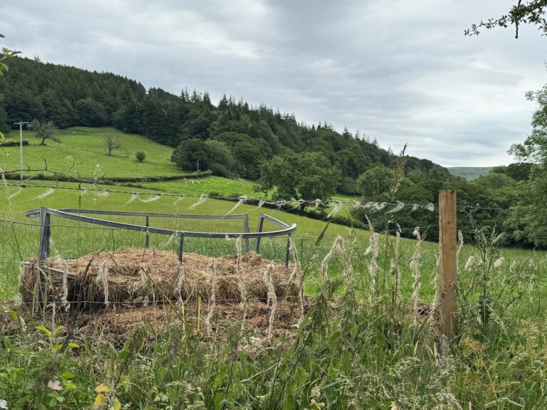
Hay bales makes ramp leading up to this ringed pen. Judging by the wool caught on the fence, this is probably an arrangement for securing sheep for shearing.
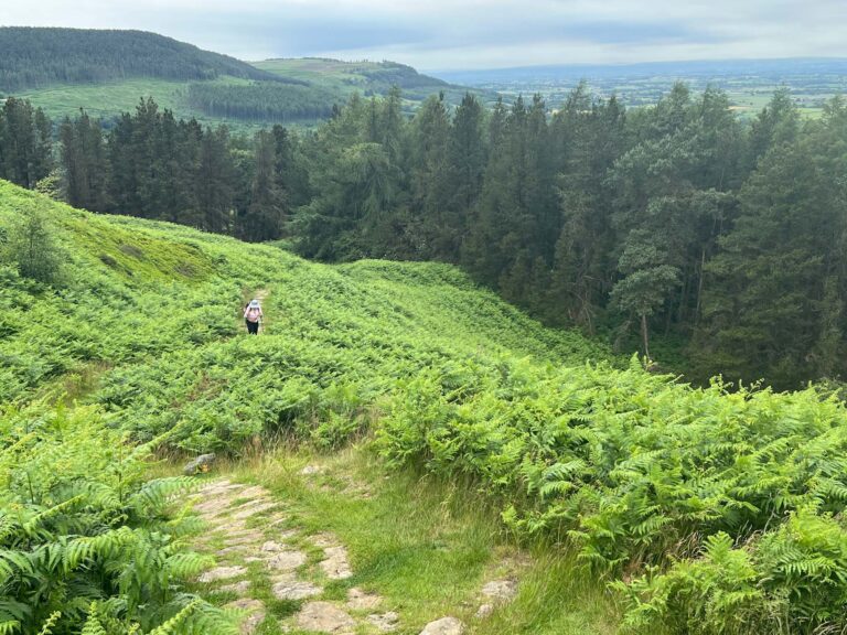
We’re leaving the forest cover and heading up to bracken-covered hills.
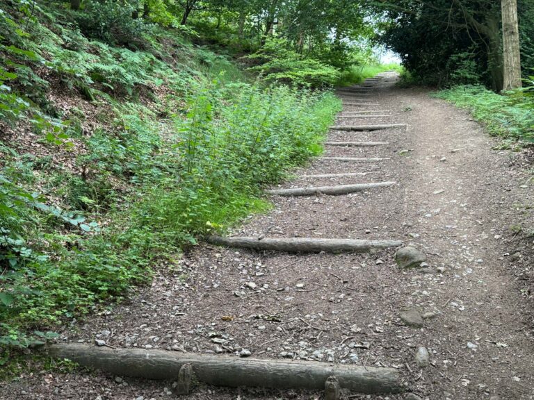
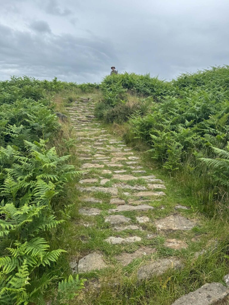
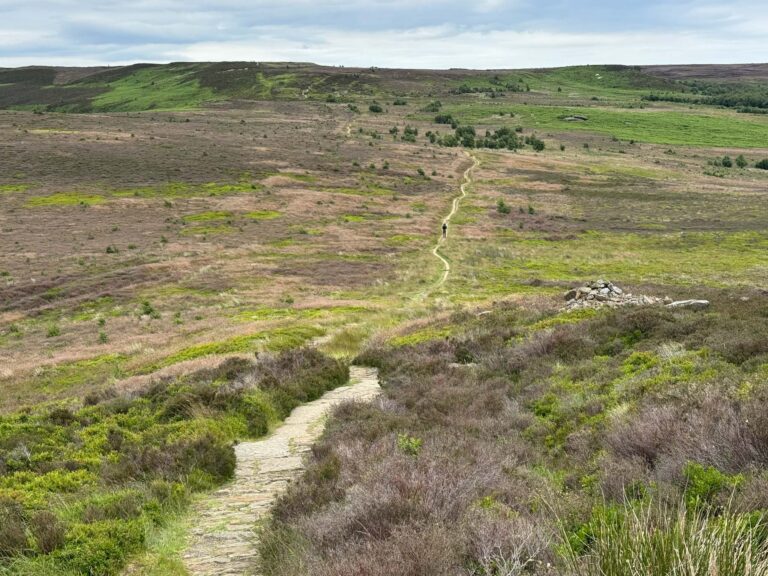
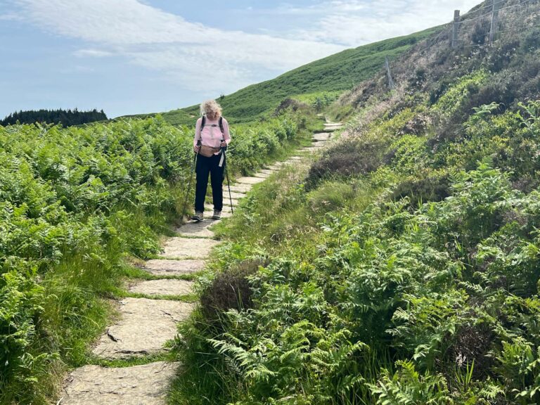
The Cleveland Way is generally well-maintained with stones marking the path and good signage.
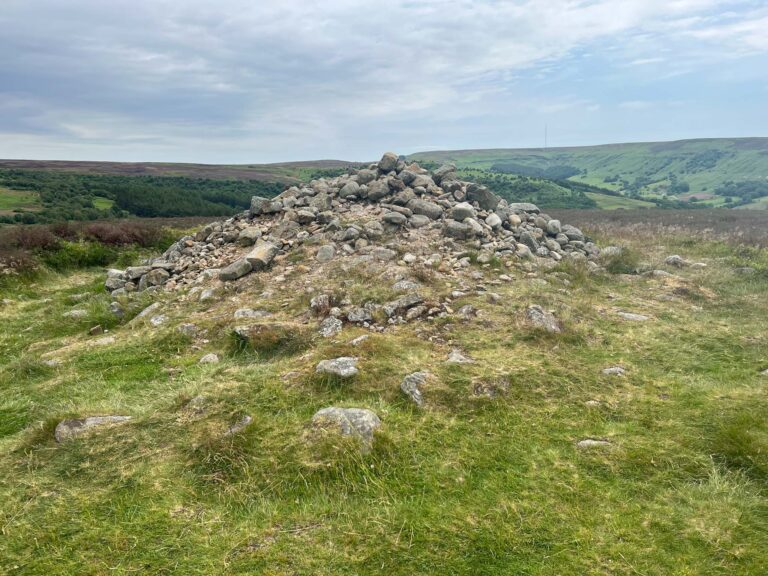
This pile of stones is identified as a Bronze Age burial mound.
This portion of the trail is relatively flat but we know what’s coming!
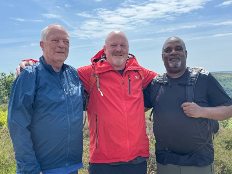
We ran into these gents coming from Clay Bank. Jon, Paul, and Stan were friends from Chevron so we shared our family background with Phillips Petroleum. Paul is heading to Norway soon for a possible North Sea job.
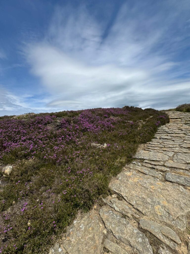
The heather is beginning to bloom in this section of the moors.
It’s not and we’re hoping for our lunch spot soon. Luckily we found it and had a good rest. Our luck holds! We meet David, a local, who not only is familiar with an alternative route around the wainstones, but offers to take us to the start of the trail.
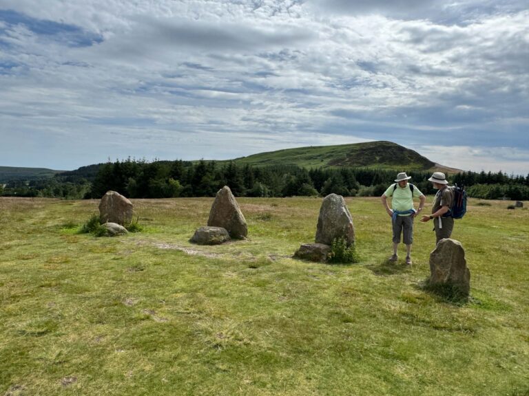
We’ve seen pictures of the standing stones so David takes us there on our way to the trail. He and Richard discuss logistics.
The new trail is simply titled “bridle path” and is not so well maintained. We say goodbye to David as he wants to walk the regular route.
We’re guessing on some of our path, but David hollers as his trail joins the one we’re on, and he confirms that we are heading in the right direction. Thank goodness for friendly helpful folks!
Continuing on, we arrived at the car park and called the hotel for our five minute transfer. Time to rest!

4 Responses
I admire your fortitude on this hard hike through the English countryside. Glad you’re able to find alternative paths when the ups and downs get too steep for comfort! I empathize with your fatigue and sore knees. Hope you can RICE (Rest, Ice, Compression and Elevation) the knees at night while you compile these amazing blog posts! Bon adventure!
Sounded like a challenging hike. But you made it! Reading about the super hot weather in Europe. Hope it doesn’t affect your hikes too much. Stay well and safe! Dan and Wendy
Out of curiosity just looked up your weather where you are now. Looks like high in the 60’s with intermittent rain for the next week. Think you will be avoiding all the heat we have been reading about. Happy for you!
Dan
Thank goodness for locals and fellow travelers to help. Beautiful country and nice weather.